File:Western cont Labeled.png
From NEStalgia
Size of this preview: 800 × 600 pixels. Other resolutions: 320 × 240 pixels | 1,408 × 1,056 pixels.
Original file (1,408 × 1,056 pixels, file size: 27 KB, MIME type: image/png)
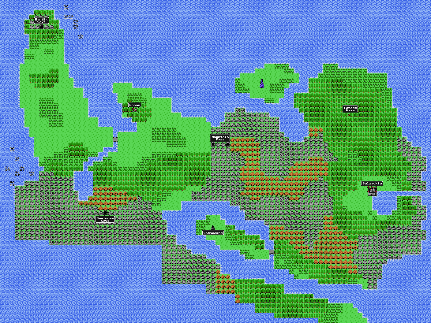
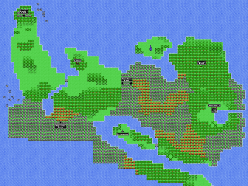
Western continent map with labels of place names.
File history
Click on a date/time to view the file as it appeared at that time.
| Date/Time | Thumbnail | Dimensions | User | Comment | |
|---|---|---|---|---|---|
| current | 12:16, 16 June 2014 | | 1,408 × 1,056 (27 KB) | Xhamon (talk | contribs) | Updated. |
| 14:43, 14 April 2012 | 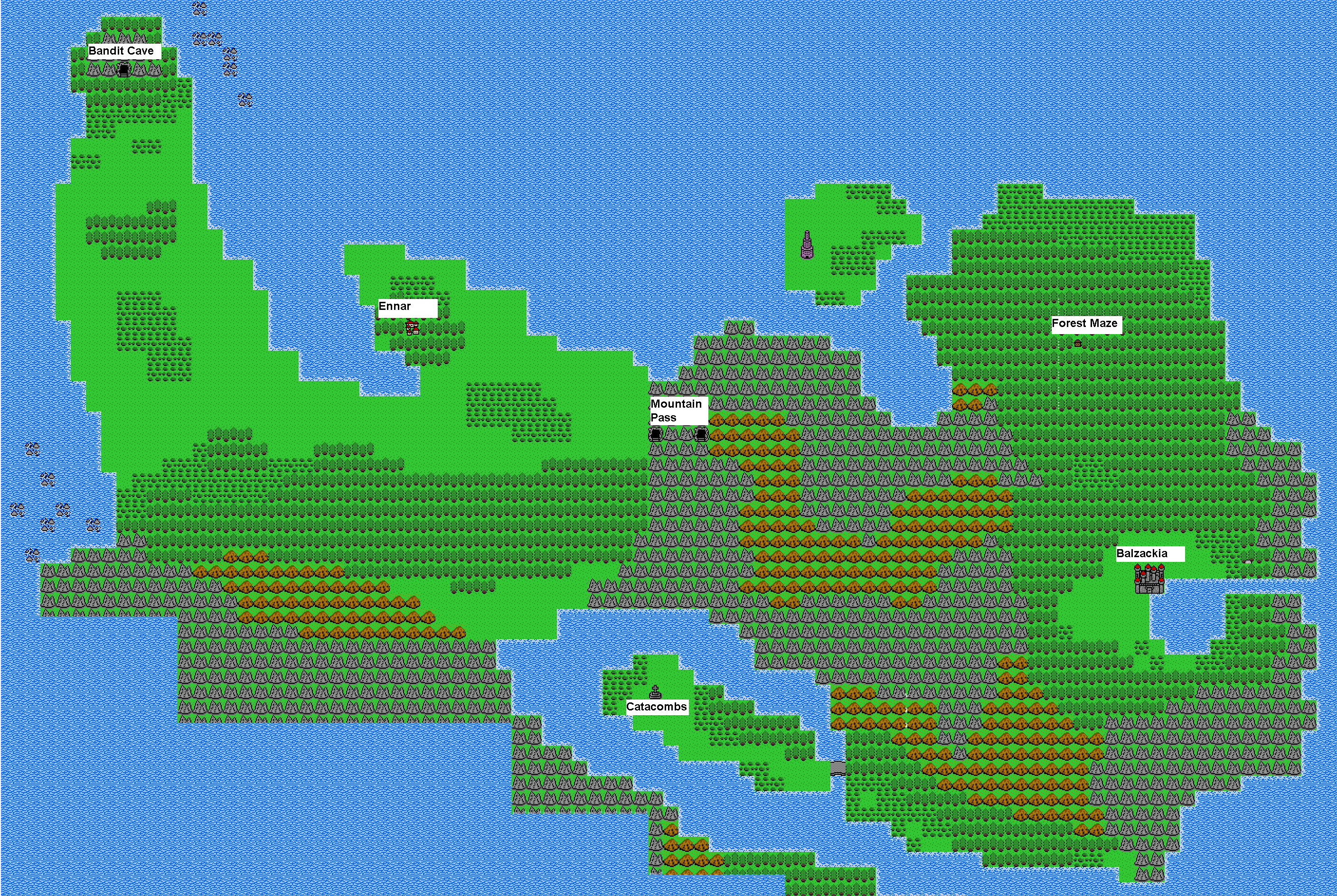 | 2,816 × 1,888 (402 KB) | Jaundice (talk | contribs) | Western continent map with labels of place names. |
- You cannot overwrite this file.
File usage
The following page links to this file: